New City of Modi'in
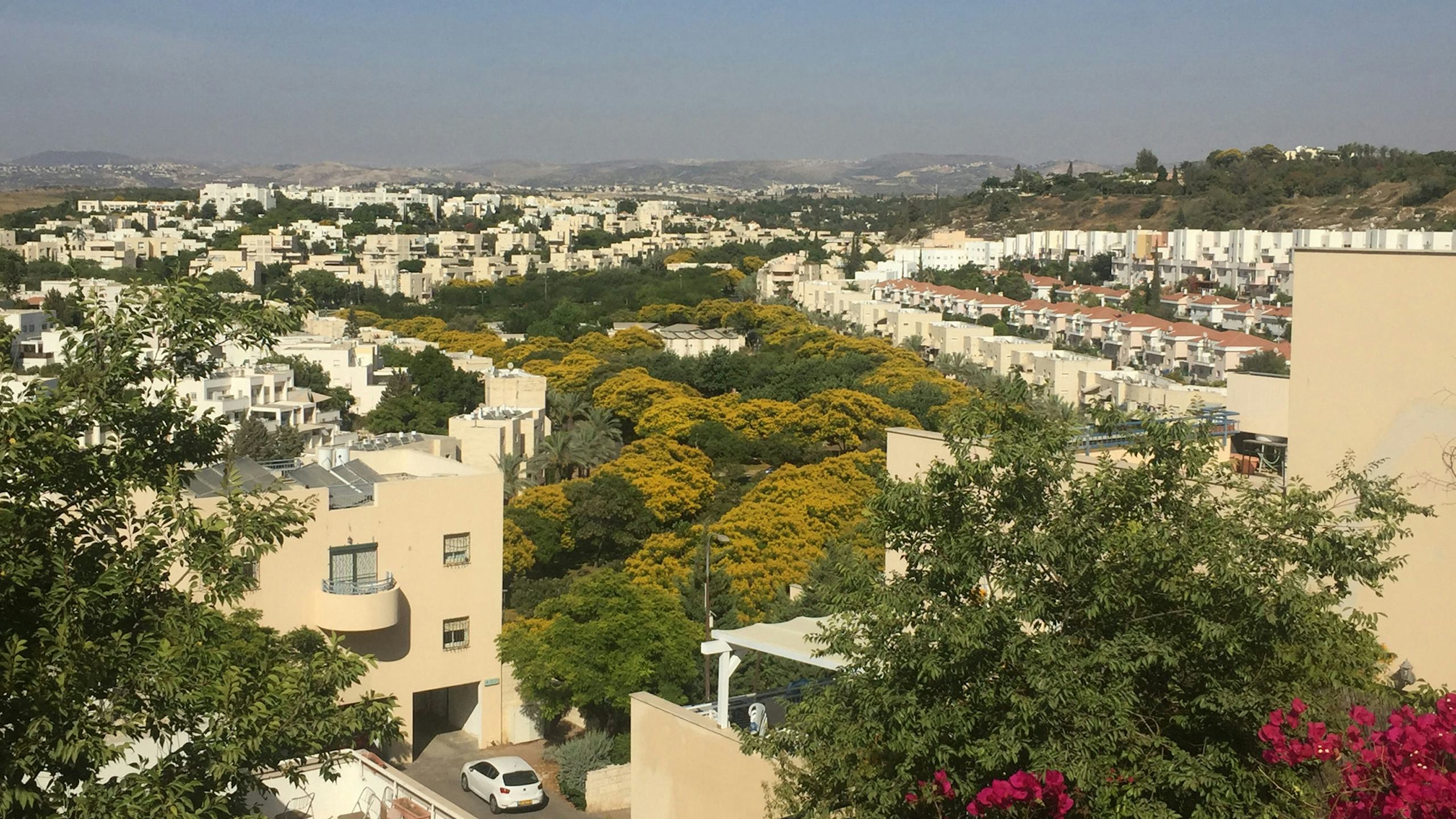
The hilly 8000-acre site is mostly treeless with rock escarpments. Responding to its unusual topography, the linear planning framework transforms the valleys of the city into movement spines. A network of valleys running east to west toward the sea forms the community’s spines. Parks and community services compose the backbone of this organization and are straddled by a couplet of one way urban arteries. Each valley is planted with a distinct species of tree – the Valley of Pines; the Valley of Palms; the Valley of Jacardanas. At least 50 percent of each valley is devoted to parks and playgrounds, while the balance accommodates neighborhood shopping areas, schools, synagogues, clinics, and other facilities. The three valley systems converge to form a mixed-use city center with a transportation interchange.
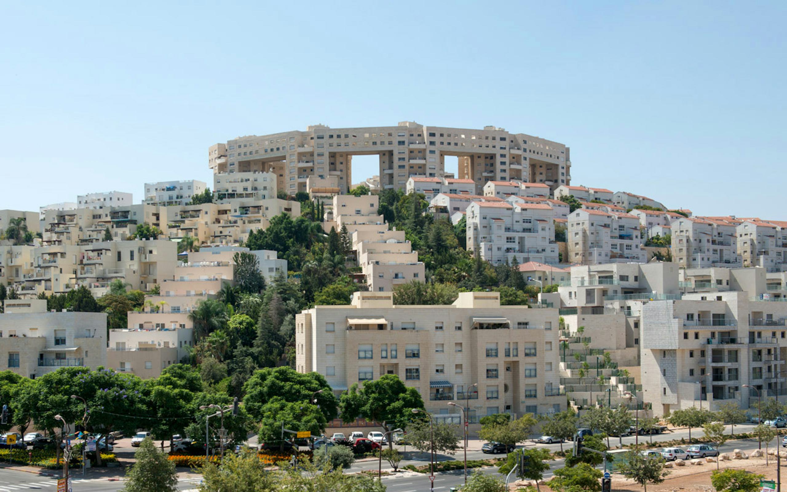
Housing follows the topography, with low-level buildings in the valley gradually climbing the hilly slopes. Larger structures enhance hilltops and create a series of identifiable crowns, providing orientation points on the skyline. Generally limited to four storeys in height, the terraced housing maintains a comfortable density of 50 persons per acre and provides views of parks and greenery. Planning guidelines promote these urban principles by regulating setbacks, footprints, and heights of buildings, and cladding guidelines apply to public, commercial, and high-rise buildings. This allows planned growth to occur comfortably by different developers and architects. Since the first residents moved into Modi’in in 1996, the city has continued to grow, with a planned future population of 250,000.
The valleys and the streets are heavily landscaped, with many open parks, parkways, landscaped pedestrian ways, and recreation areas. With a greenbelt surrounding the city, and other protected land, more than half of Modi’in’s area is publicly-accessible open space.
The undulating hill site precluded rectilinear planning, so the city has an organic feel as its street layout is adapted to the terrain. Working with the terrain the housing is terraced from low to high, so that the majority of households have unobstructed overlooking views of the surroundings.
The city is very pedestrian friendly and walkable, with a majority of the housing organized as three and four storey walk-up flats. In addition to the shared parks and green spaces, all housing units are required to have access to a garden, roof terrace, or balcony. The stepped garden walkways that lead down the hills are a shared public right of way.
Perspective of the valley illustrates how the planning precepts respond to the natural topography of the site.
The three limited-access parkways, lined by thirty-meter garden strips, direct north-south traffic across the city, while the valley roads create east-west links.
The Town Center is the largest commercial center, with a 1500-car underground parking garage, an outdoor market and a 350-seat community theatre within the center. The shop fronts are highly transparent, and the ends of the pedestrian concourse are fully glazed, which opens the mall up to its surroundings.


